Real Estate Photo, Video & Aerial.

About
HDR Photos
Bright, clean interior photos that show your home’s layout and finishes accurately, so buyers know what to expect.


Certifed FAA Drone Pilot
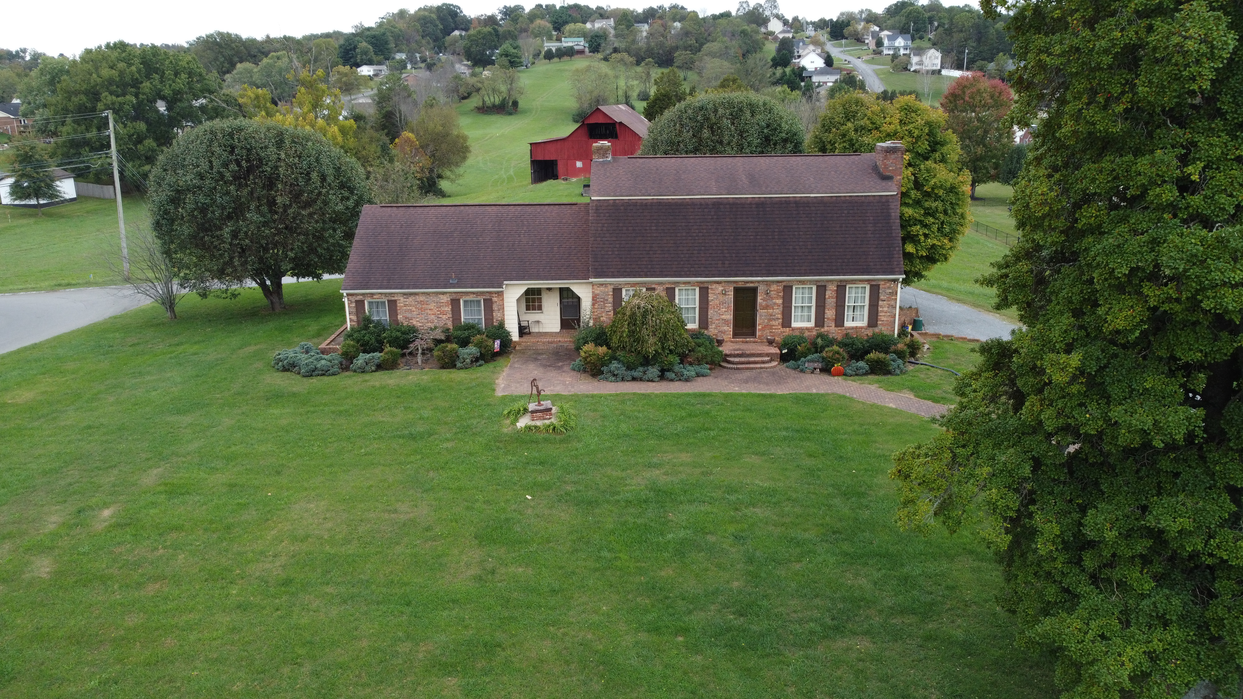
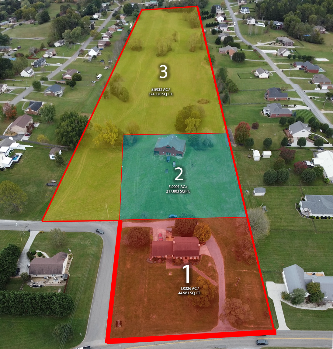
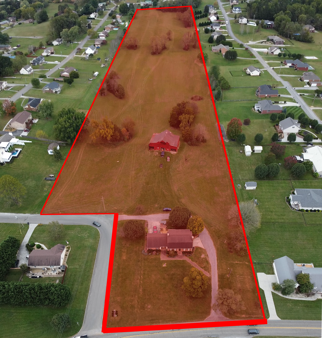
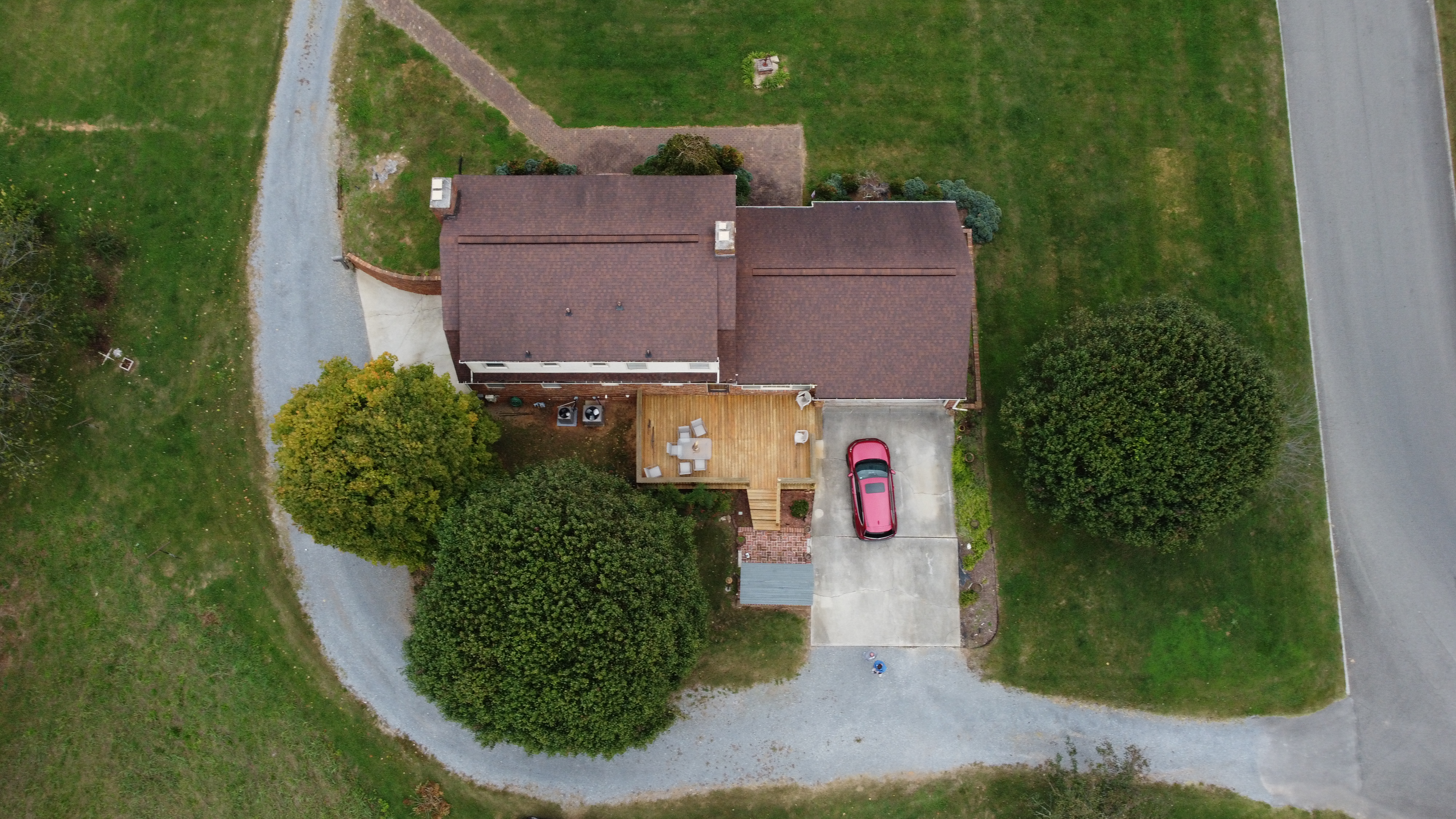
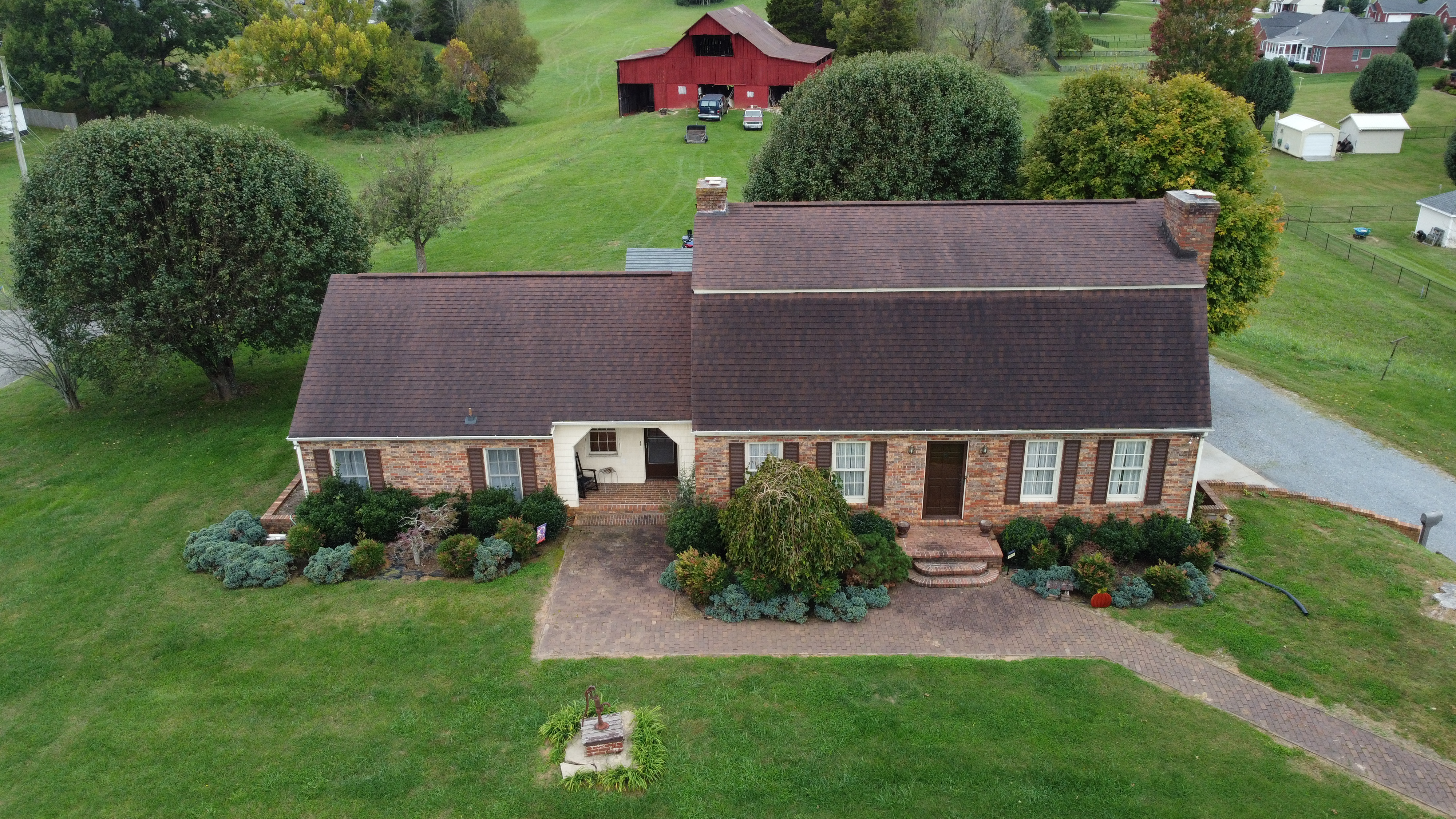
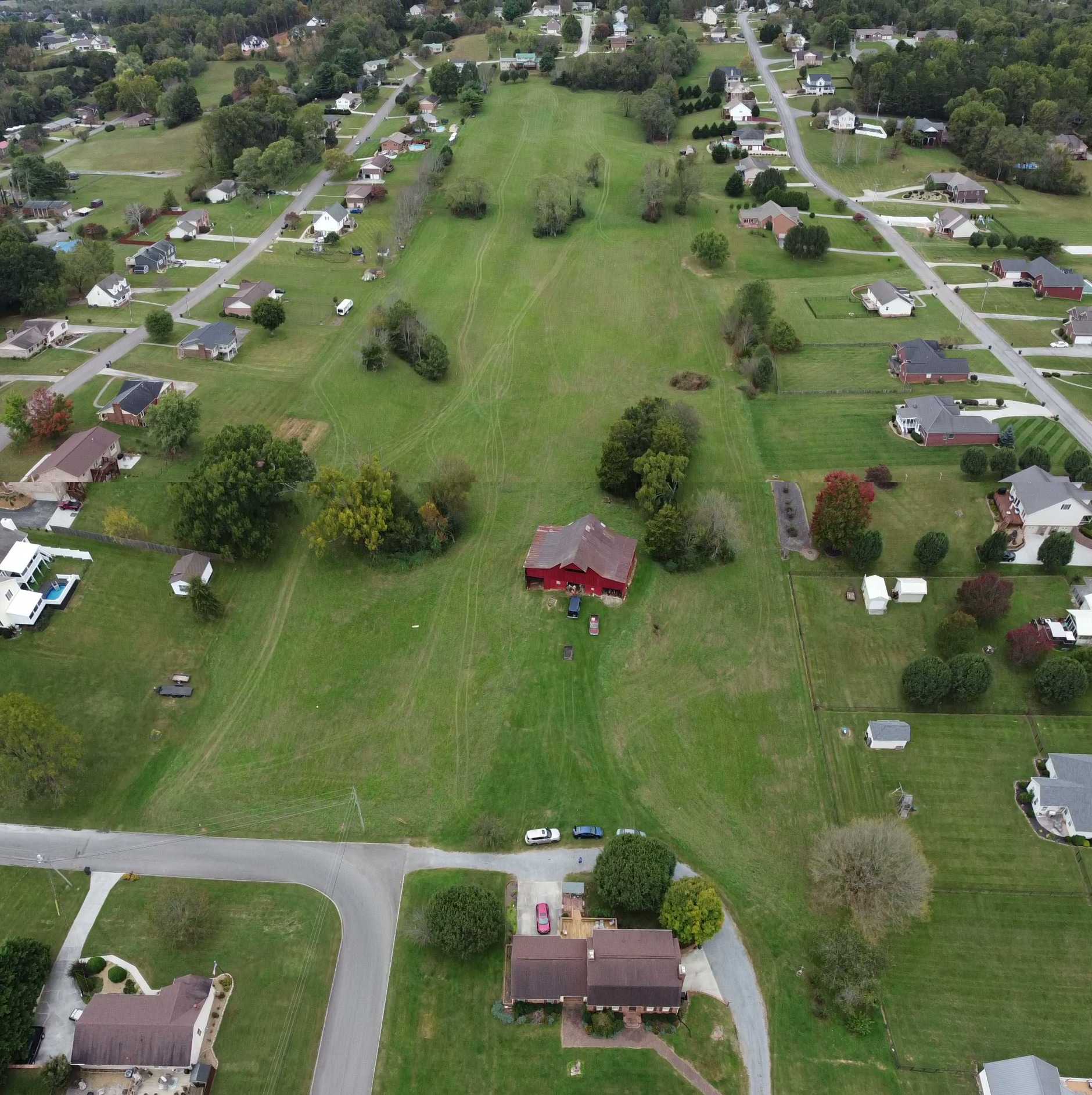
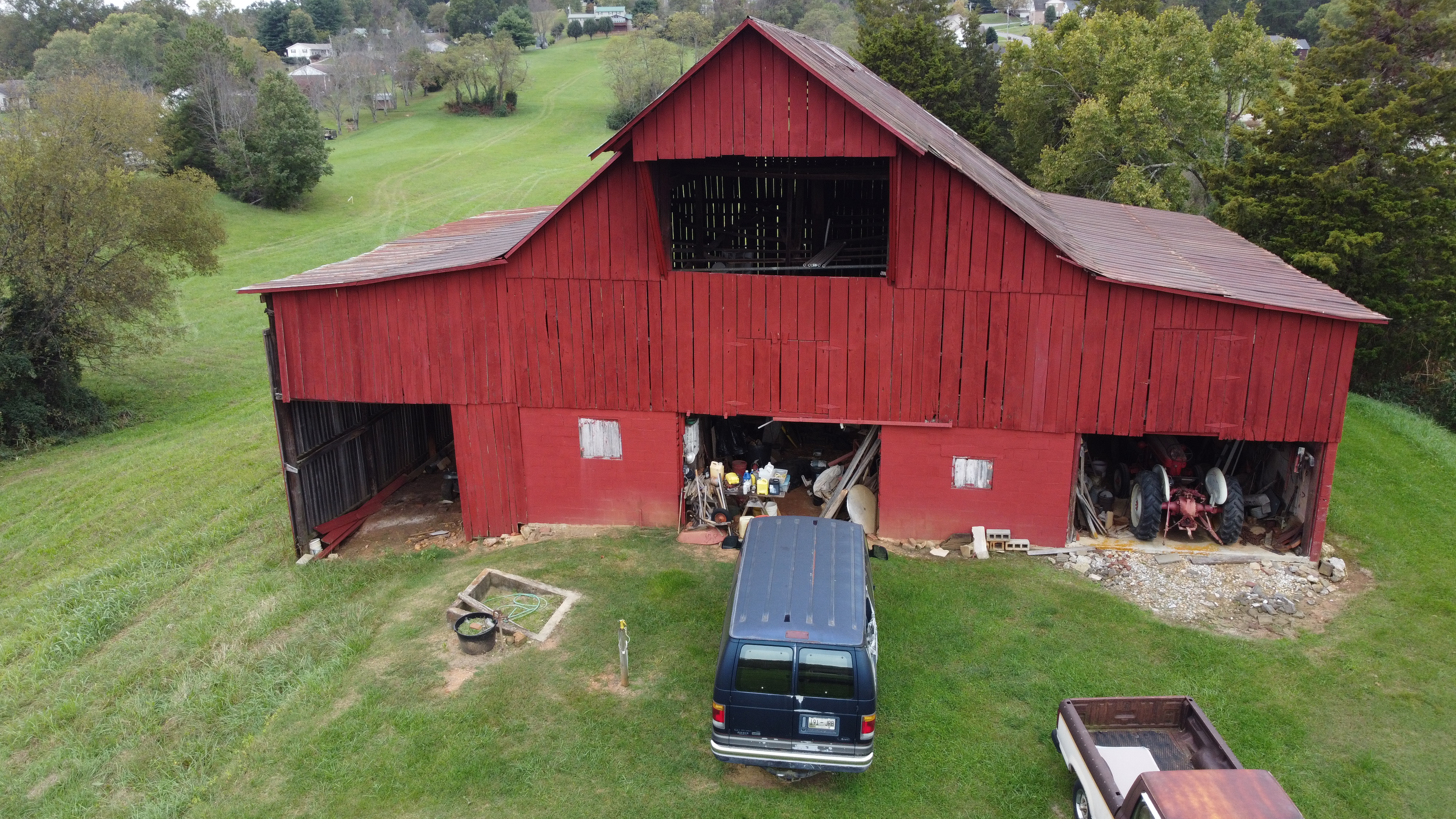
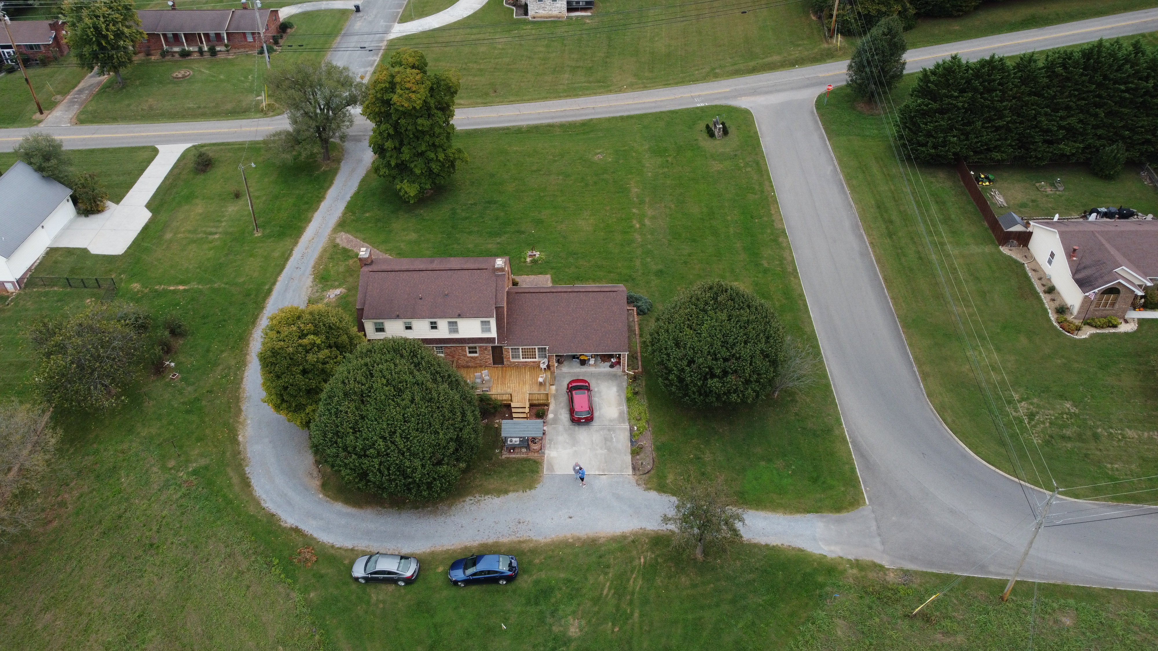
As an FAA Part 107 certified drone pilot, I can show your property from angles a ground-level camera can’t. Aerial photos and video show the full lot, the surrounding neighborhood, nearby landmarks, and how the home sits on the land, which helps buyers understand what they’re getting before they ever step inside. It’s especially useful for larger lots, rural properties, waterfront homes, and new construction.
Gallery


Pricing Guide
(may vary per project based on specific needs)
Listing Essentials | $150
-
15 fully edited, HDR photos
-
Interior and exterior coverage
-
Any property in Johnson City, Kingsport, Bristol, Elizabethton, Jonesborough, or Greeneville
Premium Listing | $200
-
20 fully edited, HDR photos
-
Interior and exterior coverage
-
Any property in Johnson City, Kingsport, Bristol, Elizabethton, Jonesborough, or Greeneville
-
5 to 8 edited aerial images showing the home, lot, and surrounding neighborhood
Aerial video | +$50
-
30 to 60 second edited drone clip of the home, lot, and neighborhood
Book a session
Let’s Talk
info@mysite.com
Phone
123456789